
 •
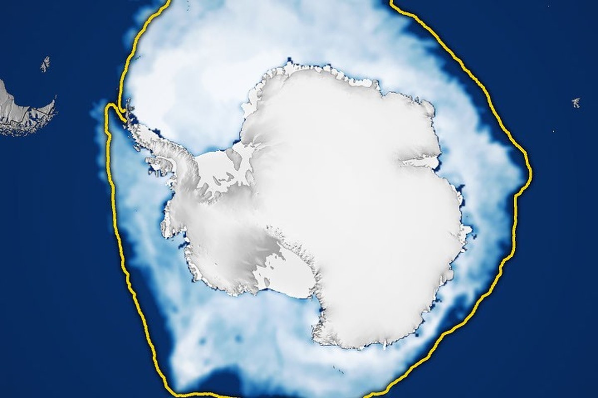
•NASA and the National Snow and Ice Data Center (NSIDC) report that Antarctic sea ice reached its annual maximum on September 14, 2026, when the ice cover reached approximately 17.59 million square kilometers (6.79 million square miles). The value is the third lowest maximum on record since satellite observations began, according to a NASA Earth Observatory report.
According to the NASA Earth Observatory, Antarctic sea ice typically reaches its maximum in September, at the end of the Southern Hemisphere’s winter, and reaches its minimum in February. Unlike the Arctic, which is a sea basin surrounded by land, Antarctica is a large landmass surrounded by ocean; this geographic feature allows the sea ice to expand more during the winter and melt more during the summer.
The article is an updated version of the Antarctic sea ice feature in the World of Change series, which is produced in collaboration with the NSIDC and uses satellite imagery to track long-term changes in the Earth’s surface.

Current data show that total Antarctic sea ice has increased by about 1 percent per year from 1979 to 2014. But it is unclear whether this increase is a sign of a meaningful change; Antarctic ice cover varies greatly from year to year. In 2012-2014, three consecutive years of record-breaking maximum winter sea ice by satellites occurred during a period when Arctic ice was in a steep decline.
To determine the ice coverage, scientists rely on satellites equipped with passive microwave sensors that measure the microwave energy naturally emitted by the Earth. Sea ice emits more of this energy than open water, so it stands out in microwave images. Microwaves pass through clouds, allowing satellites to observe sea ice regularly, regardless of weather conditions.























No comments yet