
 •
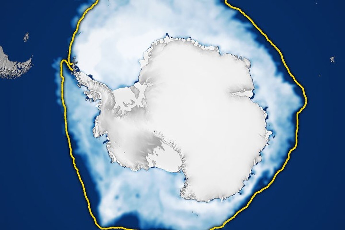
•NASA and the National Snow and Ice Data Center (NSIDC) report that Antarctic sea ice is likely to reach its annual maximum on September 14, 2026. The value, which is estimated to reach about 17.59 million square kilometers (6.79 million square miles) on that date, is the third lowest maximum on record since satellite observations began, according to the satellite observations.
According to a report by the NASA Earth Observatory, Antarctic sea ice typically reaches its maximum in September, at the end of the Southern Hemisphere’s winter, and reaches its minimum in February. Unlike the North Pole, which is a large landmass surrounded by ocean, the Arctic is an ocean basin surrounded by land; this geographic feature provides more space for sea ice to expand during the winter. But at the same time, the ice sheets extend further toward warmer latitudes, leading to more melting in the summer.
The article notes that it is an updated version of the Antarctic sea ice topic in the World of Change series, which is co-authored with the NSIDC and tracks long-term changes on the Earth’s surface through satellite imagery.

Current data show that total Antarctic sea ice has increased by about 1% per year from 1979 to 2014. However, it is unclear whether this increase is a sign of a meaningful change; because the ice cover around Antarctica varies greatly from year to year. In 2012-2014, three consecutive years saw satellites record new records in the maximum extent of winter sea ice, during a period when Arctic ice sheets were in a steep decline.
To determine the extent of sea ice, scientists rely on satellites equipped with passive microwave sensors that measure the microwave energy naturally emitted by the Earth. Sea ice emits more of this energy than open water, making it stand out in microwave images. Microwaves pass through clouds, allowing satellites to observe sea ice regularly, regardless of weather conditions. The records began with data collected by NASA’s Nimbus-7 satellite in late 1978; then the Defense Meteorological Satellite Program (DMSP) satellites from 1987, and NASA’s Aqua satellite from 2002 to 2011. In 2025, scientists began using observations from the Japan Aerospace Exploration Agency’s GCOM-W satellite.























아직 댓글이 없습니다